Roger Potten is one of our highly skilled archive volunteers who has been working on rebuilding the first Croydon Airport (1919-1927) on a platform called Sketch Up. This software enables the building of architecture to create sophisticated 3 dimensional reconstructions with intricate detail and texture.
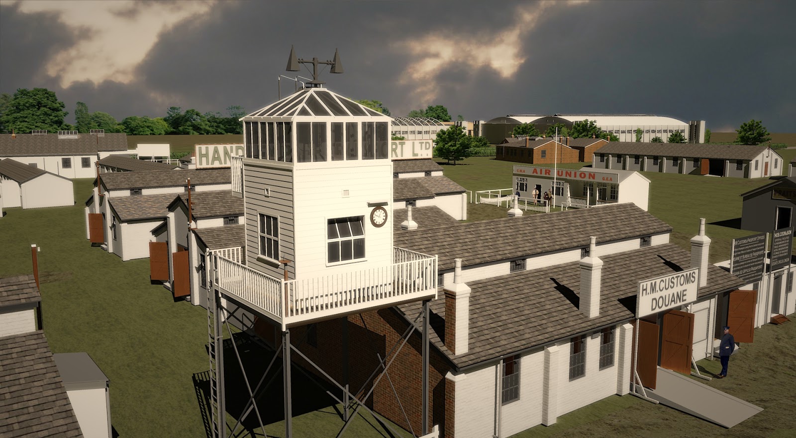 |
| First airport tower, 1923 |
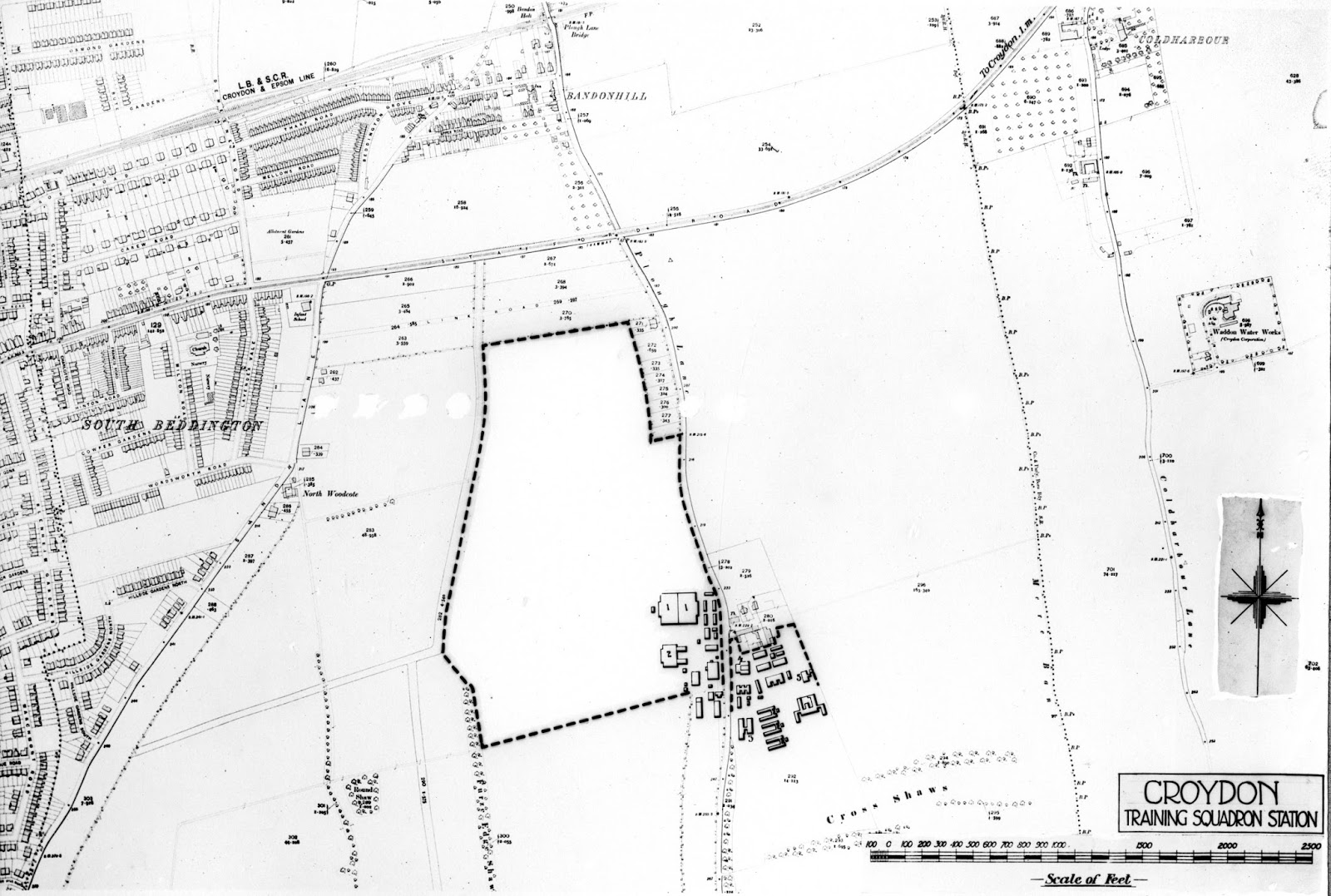
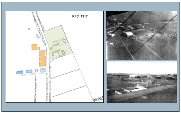
When the Heritage Lottery Fund awarded Historic Croydon Airport Trust a grant to investigate the first world war origins of what became Croydon Airport, Roger turned his attention to 1916-1918. He began building up a reconstruction what started as an airstrip overshadowed by the farm on Plough Lane in 1916 to a large RAF training aerodrome, complete with bombing practice range, by 1918. In doing this Roger has found the photographs of Herbert Montgomery Martin, previously blogged, invaluable for building up an accurate picture of the layout of the airfield and aerodrome and the intricate details needed for the added texture. This blog shares the maps that Roger has pieced together of the airfield and aerodrome from 1917-1919.
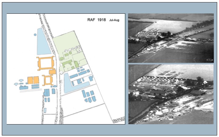

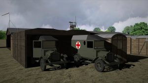
Shortly after the war ended, the RAF (newly formed on 1 April 1918) was still using the airfield and aerodrome for training purposes and for taking civilians and politicians to Paris for the Versailles war treaty negotiations. The farm is now entirely overshadowed and Plough Lane is clearly a barrier in the aerodrome.

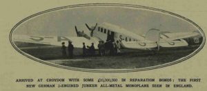
By 1920, the aerodrome was designated for civilian transportation and became an airport, i.e. having a customs and excises for duty on imported and exported goods.